

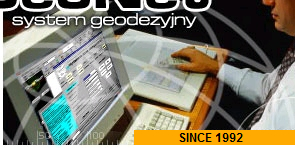
GEONET
About GEONET
GEONET system is a full package of programs which are to perform useful surveying and geodetic computations and to be applied in variety of fields, from control networks of a given class, GPS network and situational-altitude measurements, digital cartography and topography, coordinate systems transformations to GPS post processing, Also it can be practically used in mining industry, analyzing horizontal and vertical displacements.
The specific characteristics of the system:
- batch source files (in ASCII)
- “automatic recognition" of geodetic control networks structure of situational-altitude measurements, automatic coordinates calculation of the approximate coordinates (according to the principle of so-called modular networks).
- possibility of using archive geodetic-cartographic materials
- any data sets size (possibility of aligning the network to about several thousand points- standard version), high spectrum analysis of the accuracy and reliability
Interface includes its own input files and graphical editors